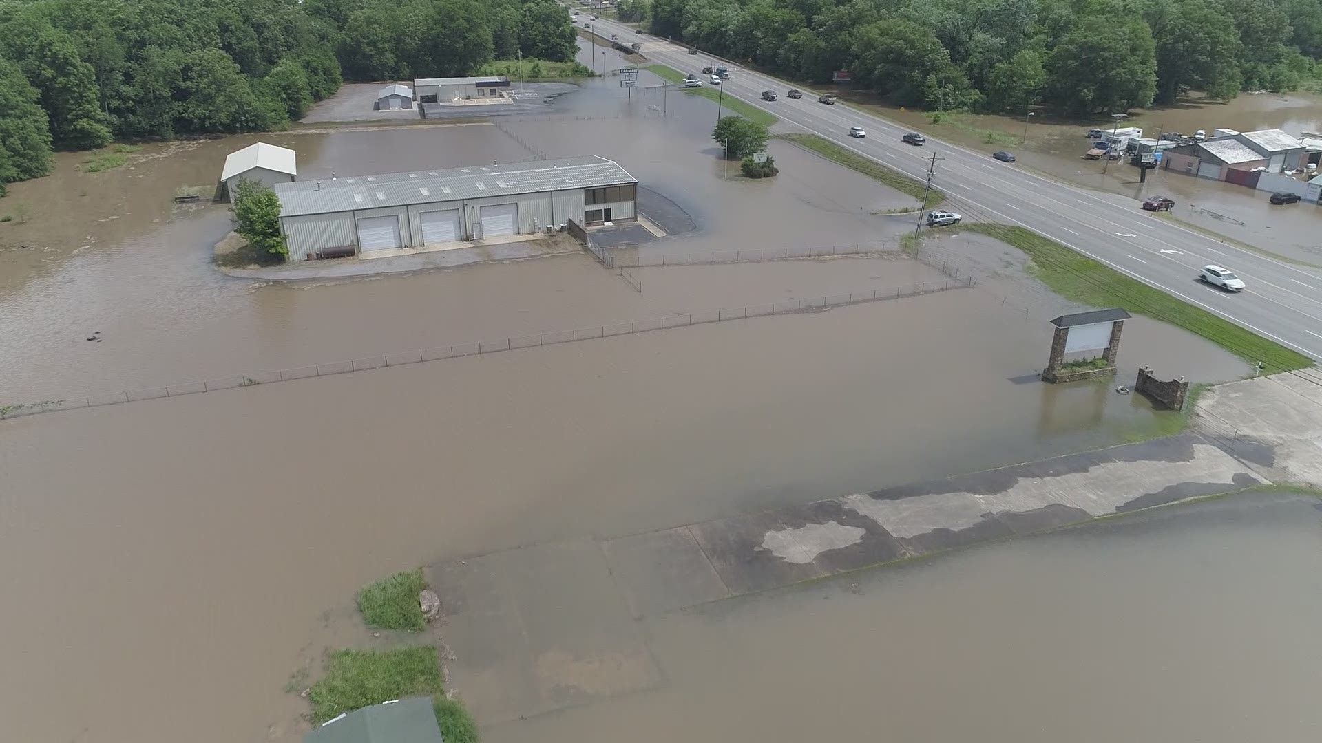
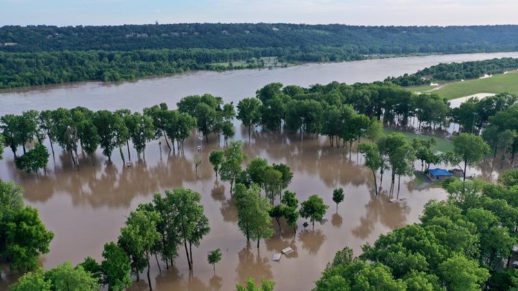
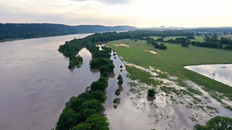
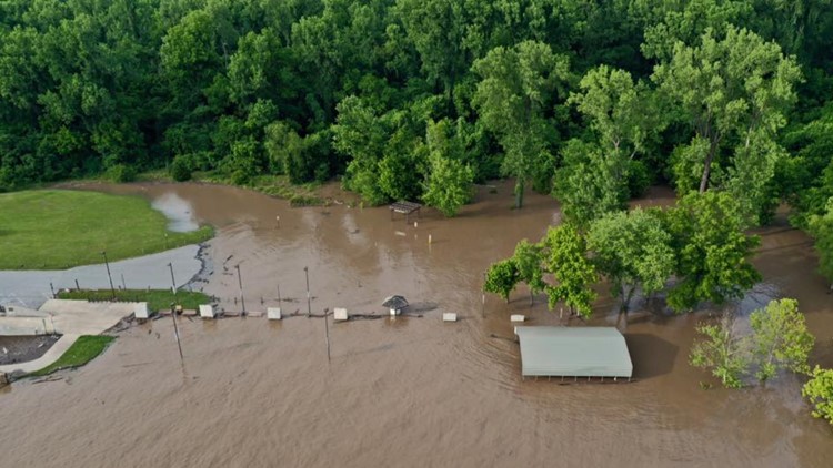
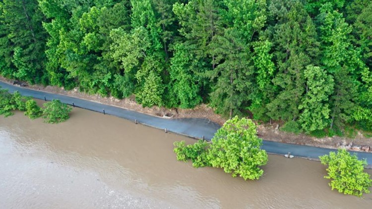
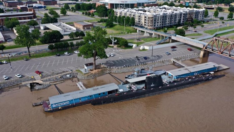
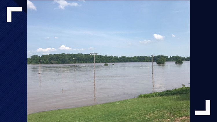
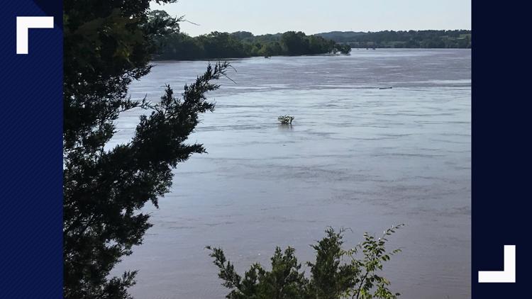
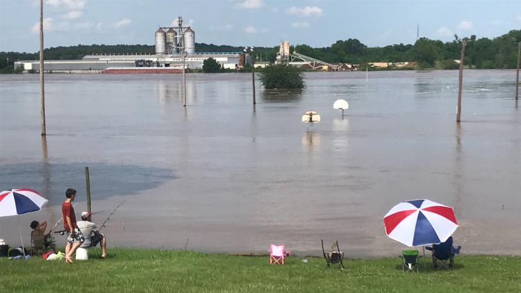
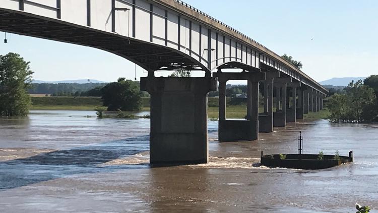
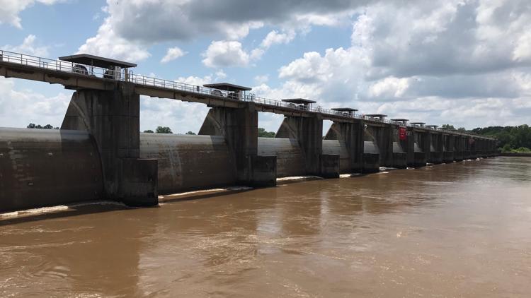
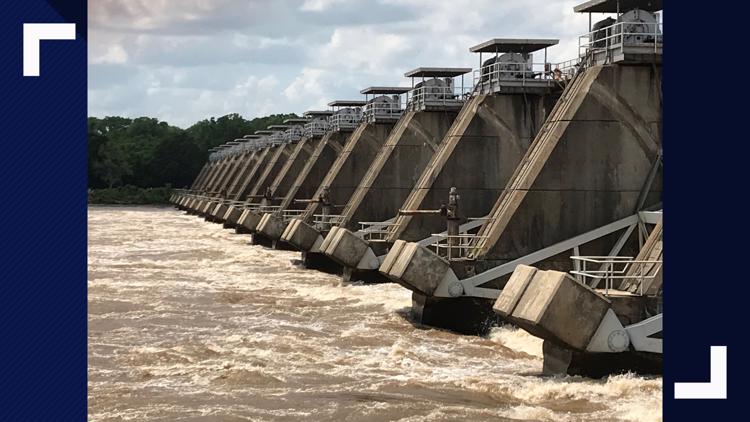
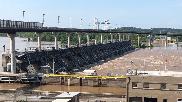
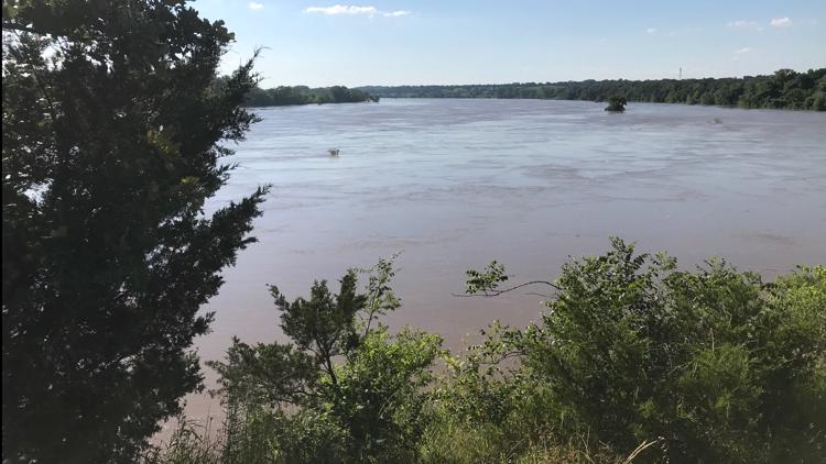
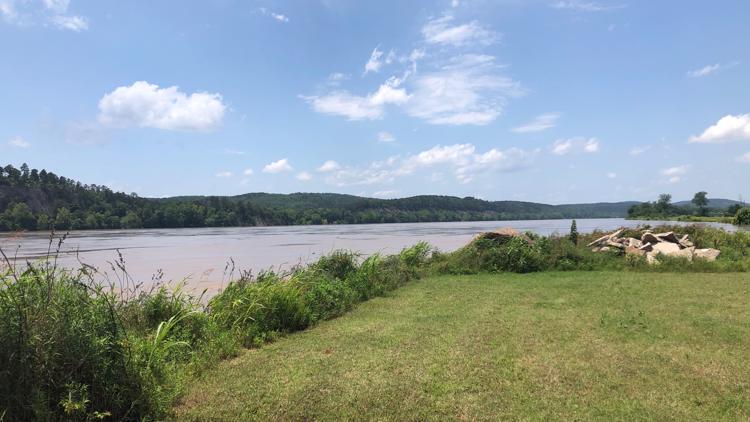
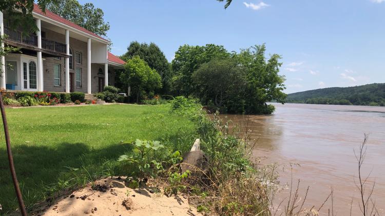
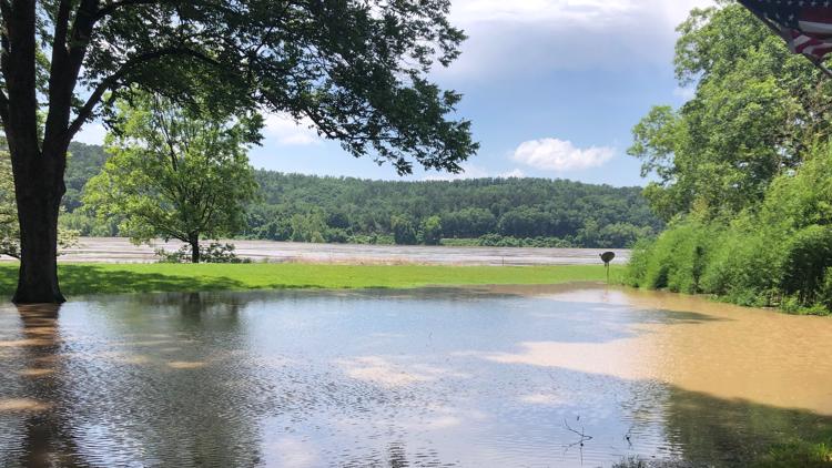
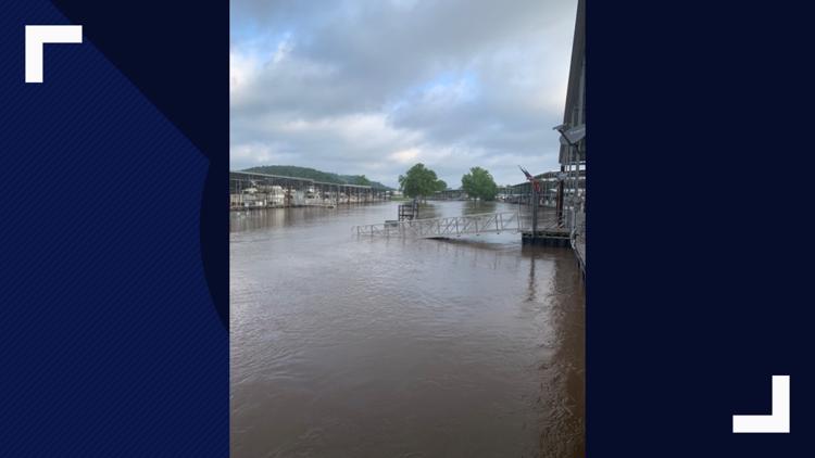
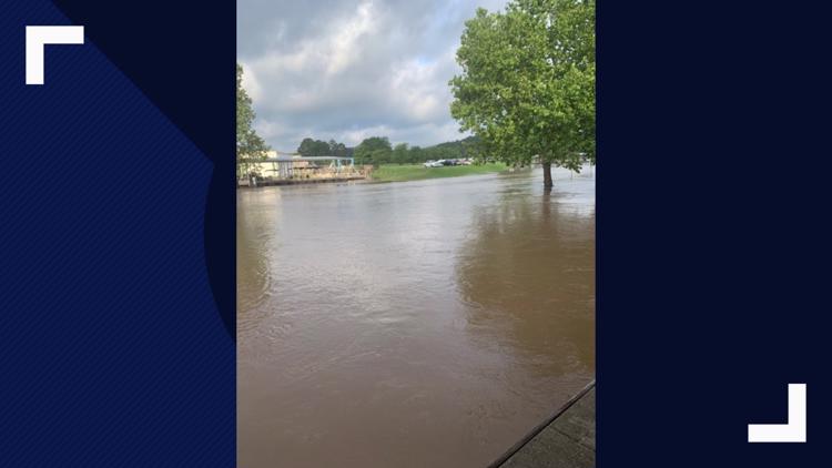
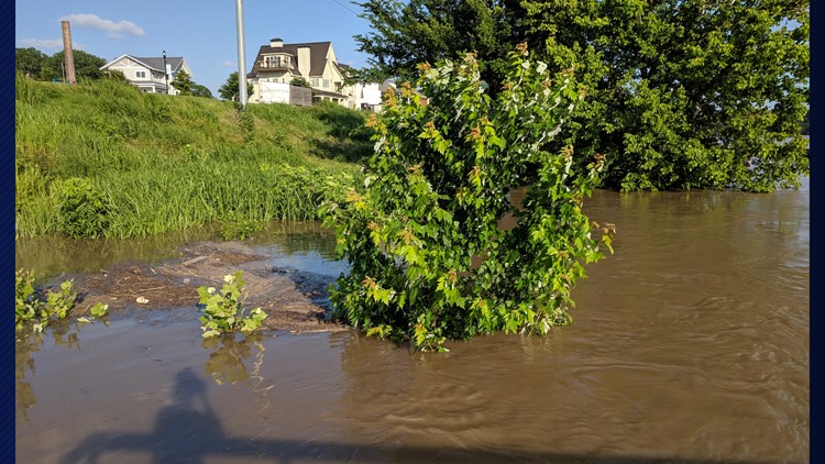
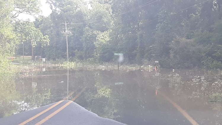
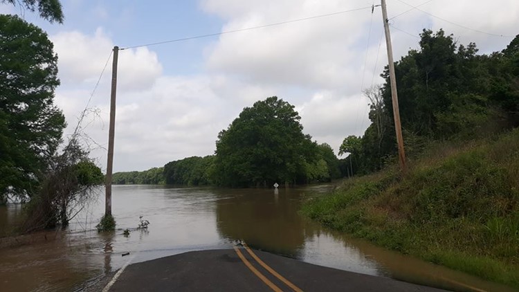
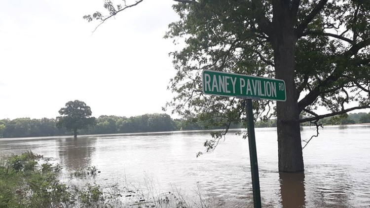
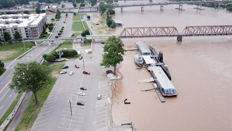
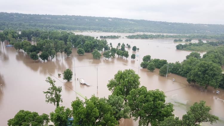
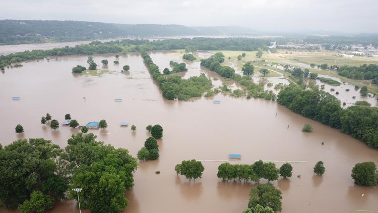
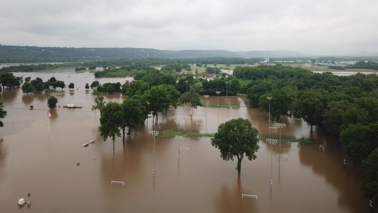
The Army Corps of Engineers and National Weather Service have updated the flood flow forecast for the Arkansas River.
Flows are expected to "be the worst flooding in recorded history," according to officials with the National Weather Service.
This concern comes as rain continues to fall in the river's drainage basin in Oklahoma and Kansas.
Flows are expected to exceed the flows experienced in May 1990.

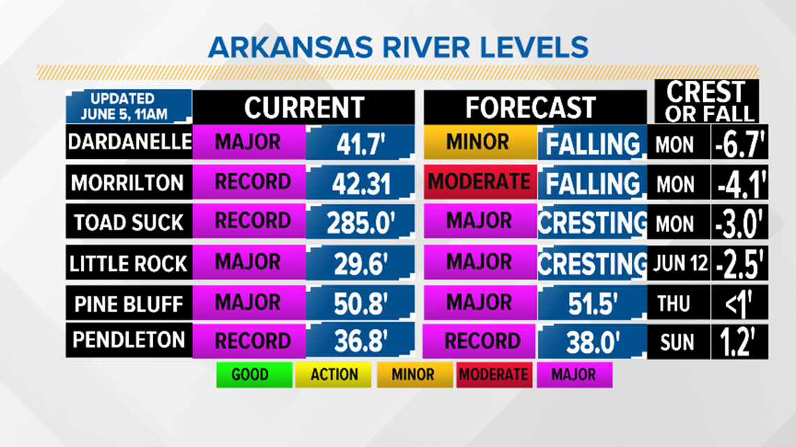
Here is the projected peak timeline:
Flows at Dardanelle Lock and Dam:
- Current: 41.7 ft
- Projected: FALLING
Flows at Toad Suck Lock and Dam at Conway:
- Current: 285.0 ft
- Projected: CRESTING
Flows at Murray Lock and Dam at Little Rock:
- Current: 29.6 ft
- Projected: CRESTING
Flows at Arkansas River at Morrilton:
- Current: 42.31 ft
- Projected: FALLING
Flows at Emmett Sanders Lock and Dam at Pine Bluff:
- Current: 50.8 ft
- Projected: 51.5 ft on June 6
Flows at Pendleton
- Current: 36.8 ft
- Projected: 38 ft on June 9
*Indicates record high flood flows for this location.
The following locations are under major flood risk:
- Arkansas River at Morrilton
- Arkansas River at Van Buren
- Arkansas River at Pendelton
- Arkansas River at Pine Bluff
- Arkansas River at Toad Suck Lock and Dam
- Arkansas River at Dardanelle
If you would like to see how a specific location is affected by the flood waters, you can enter an address on the FEMA website.
We will update this information as updates become available.

