
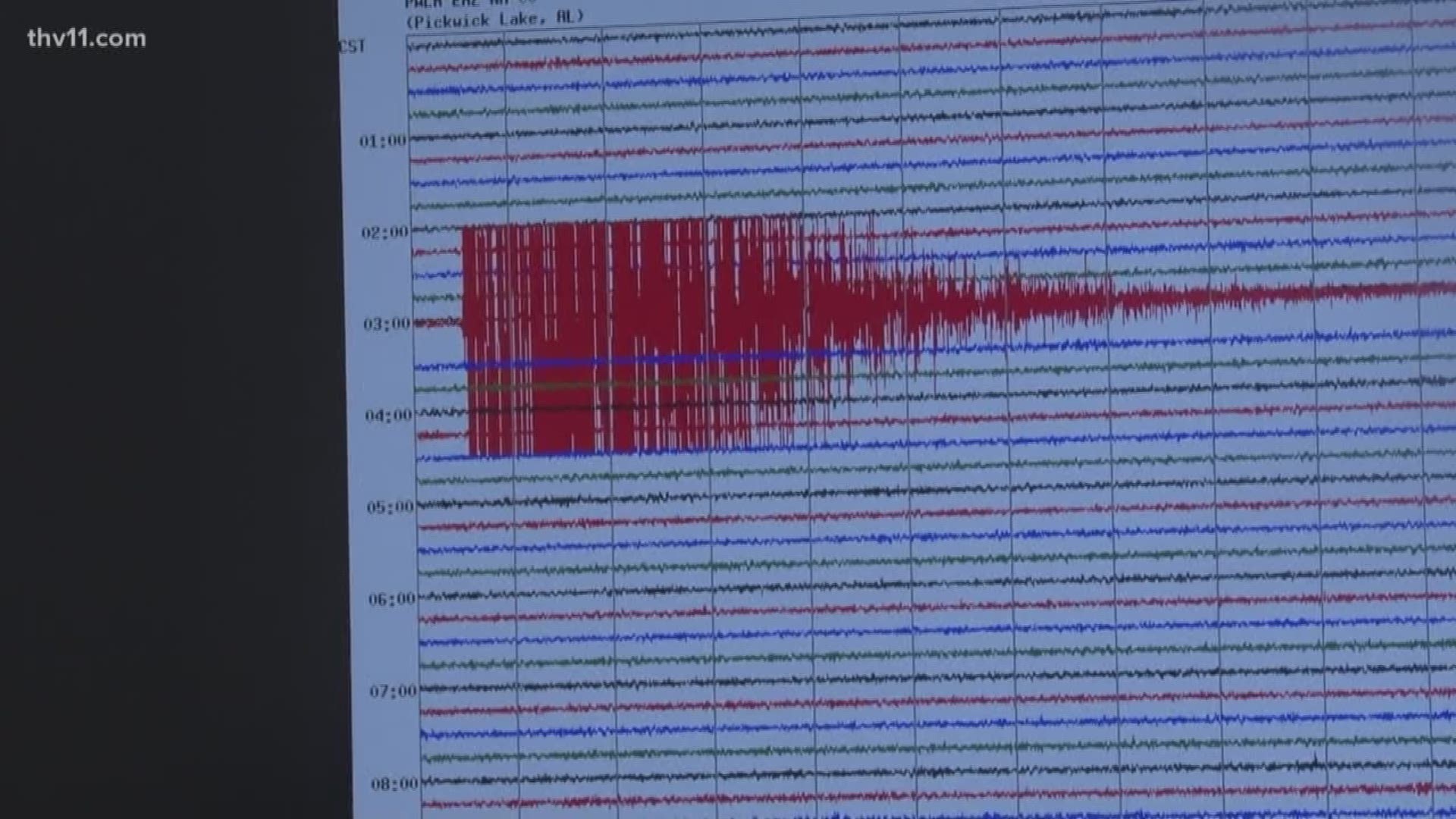
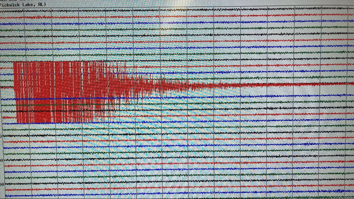
After Tennessee and Georgia rattled out of bed Wednesday, Dec. 12 from a magnitude 4-point-4 earthquake, scientists in Arkansas noted the near daily shifts along the nearby New Madrid Fault.
The shifting plates have produced some of the most destructive earthquakes in American history. In the winter of 1812 it famously made the Mississippi River flow backwards.
But fortunately, those really big ones come around once or twice a century, giving scientists time to study and get ready.
While Arkansas in the heart of Tornado Alley, the state is also part of seismic central, with the obvious drawback that you can somewhat predict the weather.
“It's impossible to predict earthquakes,” said Martha Kopper, a seismic hazard supervisor for the Arkansas Geological Survey. “The New Madrid seismic zone is the most seismically active area east of the Rockies. The East Tennessee seismic zone is referred to as perhaps the second seismically active.”
The Wednesday quake in eastern Tennessee isn't unusual, just like the New Madrid. The 4.4 magnitude is just a little stronger than we normally get, but it is a sign of what's possible.
“There's a 7-10% chance of a magnitude 6 or greater,” said Kopper. “That’s pretty small, but it is in the next 50 years or our lifetime. There’s also even more of a chance of something a little under 6.”
While those are small chances, but it would mean big destruction, mainly because of the soil here. A major quake could turn our solid ground to quicksand.
“We’re talking buildings collapsing, underground storage tanks coming up,” Kopper said. “It could be that all of our utilities are based on gravity. If water tanks are forced down or sewer pipes forced up, we could have to replace all that infrastructure.
That's why Kopper is part of a team of experts working on a plan to map the state's soil. The Governor’s Council on Earthquakes would flag the hazard areas, especially in Little Rock and Jonesboro and recommend building codes to city and other leaders.
“We have the Arkansas River here and a lot of swamp land,” Kopper said, adding the map should be ready in about three years. “There is potential for liquefaction [of the soil] and therefore lots of damage.”
Kopper’s office also has maps dating back to the spasm of earthquakes that started in 2009, largely from oil extraction in a process called fracking. There's a state moratorium in place on the practice and it has eliminated the earthquakes. Arkansas is working with other states, like Oklahoma, where fracking continues.