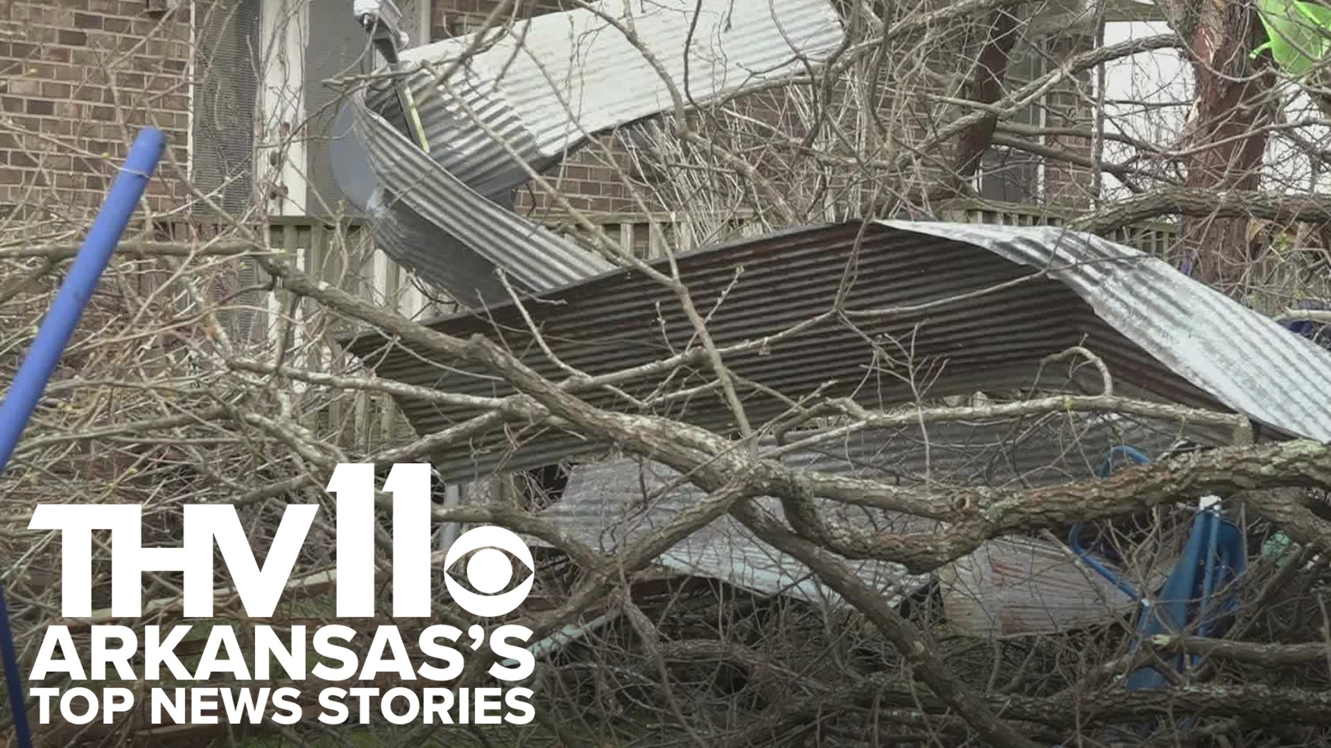
ARKANSAS, USA — It has been an active past two days of weather across the mid-South. At least four EF1 tornadoes were confirmed in Arkansas from Monday night storms.
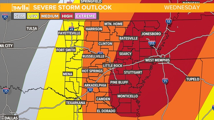
The focus is now on round three of our multi-day severe weather event. Wednesday poses a medium and high risk, or level 3 and 4 out of 5, for severe storms as a result of a potent cold front moving through the area with all modes of severe weather possible as well.
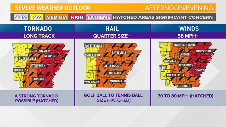
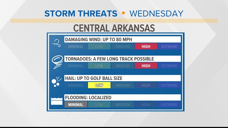
This round will occur during the middle of the day and brings a higher probability of seeing strong tornadoes, damaging winds, and large hail.
Live updates:
At 11:00 a.m. on Wednesday morning, a Tornado Warning was issued for Garland, Yell, and Perry counties where a severe thunderstorm capable of producing a tornado was located 17 miles northeast of Mount Ida, moving northeast at 65 mph.
That warning was issued until 11:45 a.m.
A Tornado Watch remains in effect until 5 p.m. for central Arkansas.
A Severe Thunderstorm Warning has been issued for Stone, Searcy, Marion, and Baxter counties until noon after a severe thunderstorm near Marshall was seen moving northeast at 50 mph just after 11:20 a.m.
A Severe Thunderstorm Warning has been issued for several counties until 12:15 p.m.
Watch latest livestream:
The latest model guidance has indicated storms forming as early as 3 p.m. If any of these single-cell storms pop up earlier in the day ahead of the front, those may have a better chance of being tornadic. The areas with the highest risks for severe storms include central and eastern portions of the state, especially late afternoon and evening hours.
At this time it's best to review your severe weather safety plans. Know your safe place, have a way to receive weather watches and warnings, and stay tuned to THV11 for the latest on changing weather conditions.
Severe storm outlook for Wednesday
The THV11 Weather Team is watching the weather situation very closely and will keep you informed!
Make sure to download the THV11 app and stay tuned to the changing conditions.


