After seeing temperatures rebounding above average on Tuesday, more cold air is on the horizon as another front sweeps through early Wednesday, Jan. 22.
Once again, some may see winter weather before the moisture ends Wednesday morning. Unlike the last time, this system is not as strong, so even the higher terrain will see less accumulation.
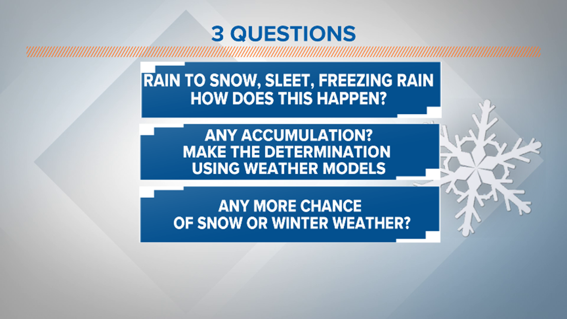
Here are three questions that you may asking.

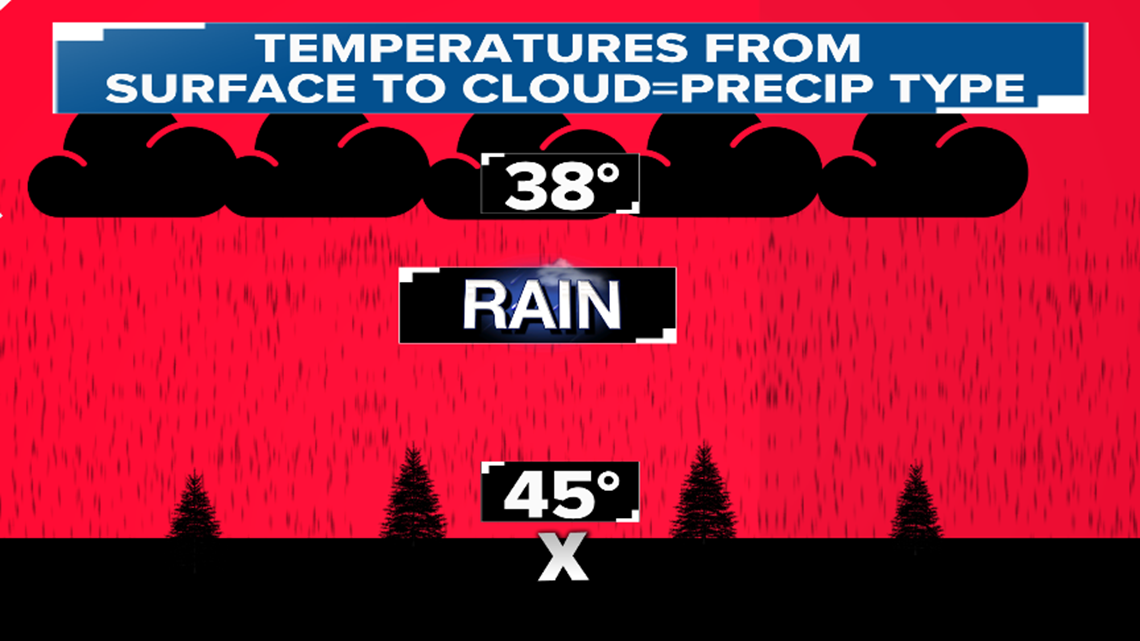
After a rainy and mild night once the front slams through, the temperatures will plunge below freezing through all layers of the atmosphere from the clouds to the surface.

With this setup rain will change over to sleet, freezing rain and possibly to all snow before ending. Even though snowflakes may be drifting through the air or sleet pellets stinging your face, most locations will still be above freezing at the surface and whatever falls will melt once it hits the ground.

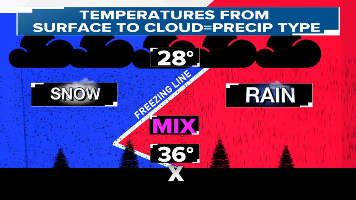
However, the higher elevations could see the temperatures at or below freezing at the surface which would allow a thin accumulation of ice or snow to develop. For this reason, the National Weather Service has issued a Winter Weather Advisory.
By the time the entire atmosphere is able to cool near or below freezing, in most of Central Arkansas the moisture will be moving out as dry air seeps into the state. It is not unusual to see snow flying even if the thermometer reads 35 to 40°. This can occur if the temperatures at cloud level and above the surface are cold enough such that the snowflakes can make it to the ground before melting.

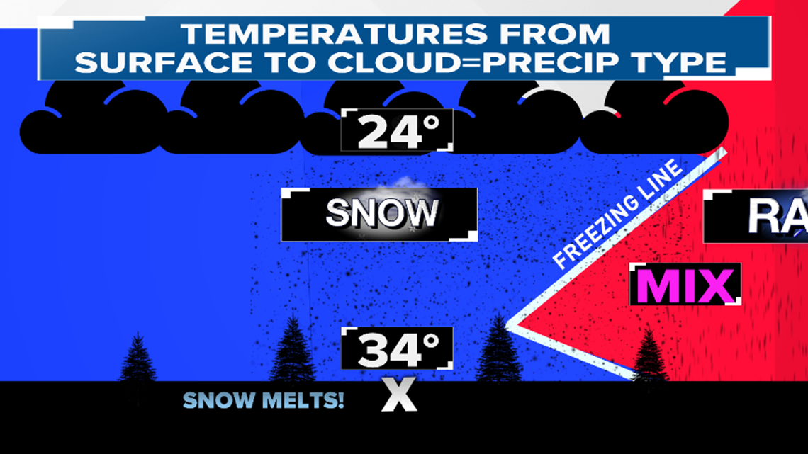
Accumulations will be little-to-nothing across most of the state. There could be a quick snow shower that leaves a dusting in a few isolated areas.
Checking out four different weather models below shows this is a minor system. Once again remember the ground will likely be above freezing in most of the state so whatever falls will melt. All models show less than an inch of snow is expected and this is even too high.
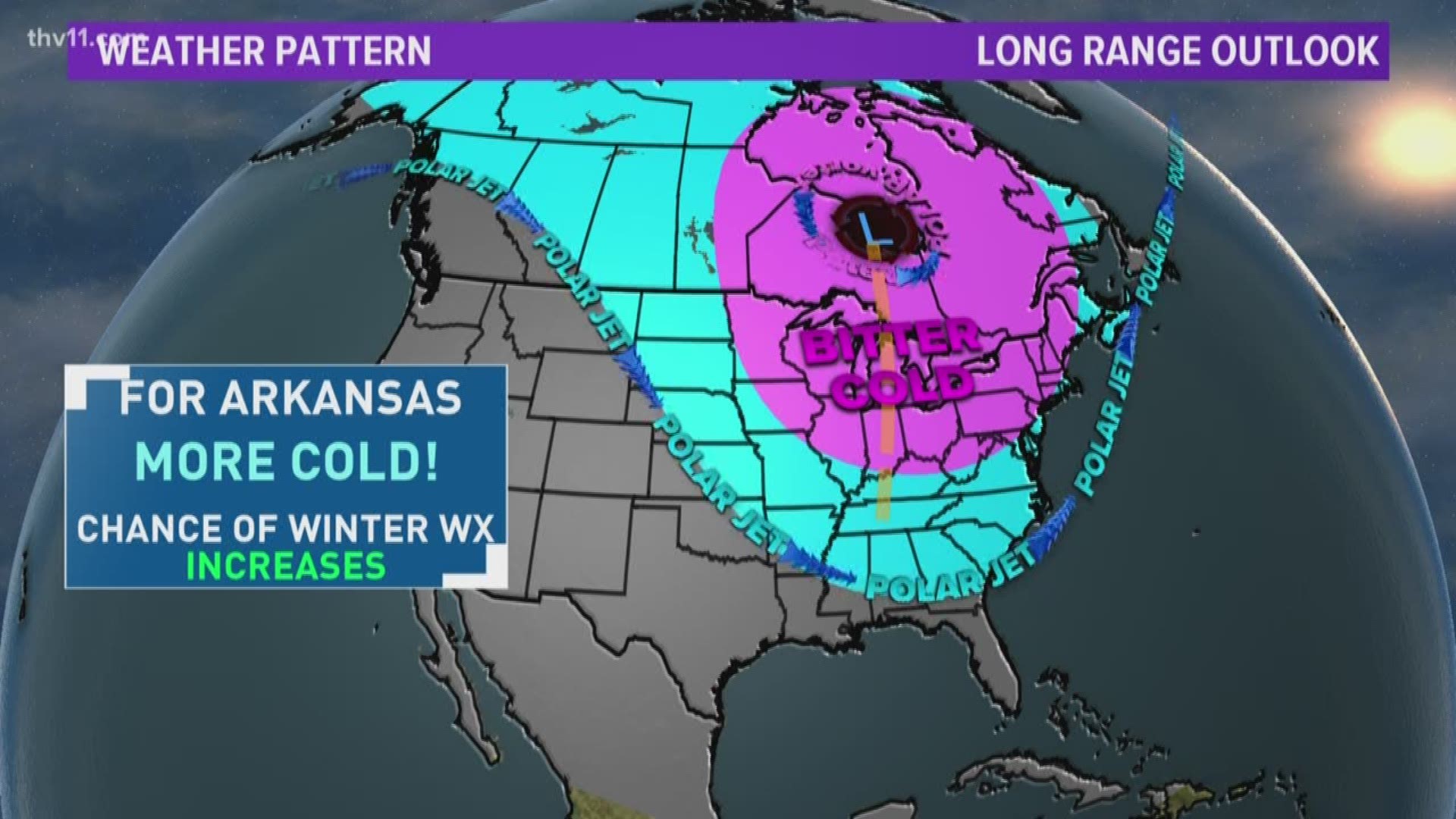
The long-range outlook features a core of bitterly cold air centered over the Hudson Bay in Canada. There will be chunks of cold air that dive into the U.S. for the next few weeks.

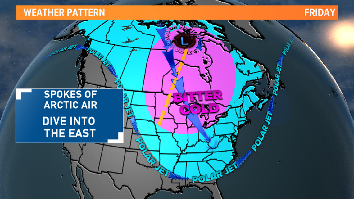
So expect the temperatures to stay mostly below average with several days in the 40s or colder.
As for the chance of more snow, the pattern is looking more favorable with the potential of quick clipper systems diving out of Canada that could produce a light snow and we will have to watch what happens along the Gulf Coast. When lows stay South of us that can place the state in the “sweet spot” for heavier snow or winter weather.

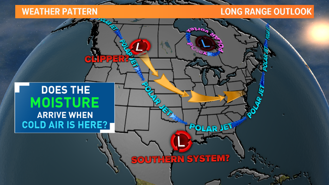
The Big question is will the moisture move in when the cold air is settled across the region? The THV11 Weather Team will be watching what happens over the next few weeks.

