LITTLE ROCK, Ark. — Although unusual, severe weather in August is possible.
We expect two rounds of storms. The first of which will move through Wednesday morning through early afternoon. While severe weather can't be ruled out with this round, it's the second round later tonight that has more potential to produce severe storms.
A very potent upper-level storm system will graze the northern portions of the state with a couple rounds of thunderstorms on Wednesday and Wednesday night.
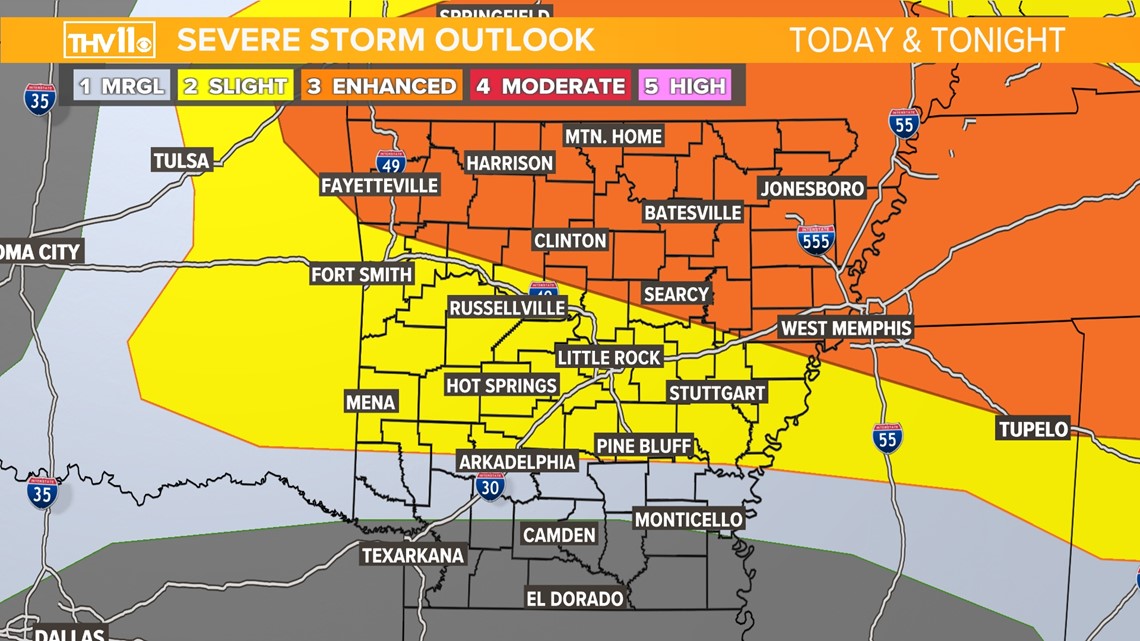
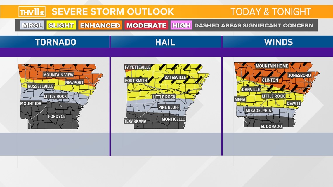
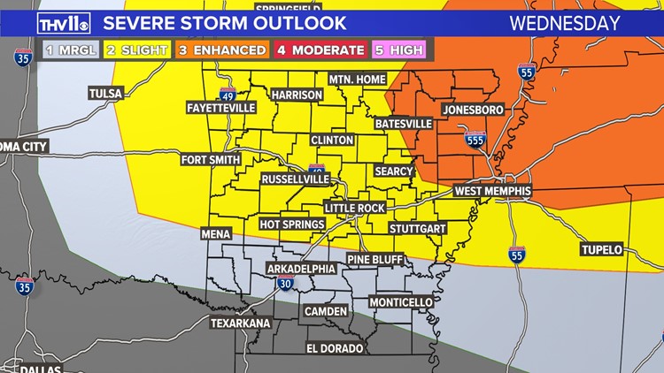
North Arkansas is under an Enhanced Risk (level 3 out of 5) with damaging wind possible, as well as a brief tornado. The Little Rock metro is under a Slight Risk (level 2 out of 5) and portions of South Arkansas remain in a Marginal (Level 1 out of 5) risk.
Early morning data continues to suggest the potential for at least one or two storms capable of producing tornadoes. While it doesn't appear to a widespread tornado outbreak, conditions are favorable enough that a tornado watch will be likely be this evening.
Make sure you have a way to receive severe weather warnings and have a plan in place.


It’s VERY important to stay weather aware and have a few different ways to receive severe weather information. Download the THV11 app for the latest on warnings in your area and remember, you can stream our live coverage on the app and other platforms!


