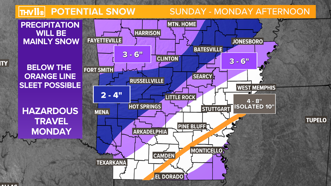
LITTLE ROCK, Ark — Bands of snow continued to move through Arkansas Monday morning, with the heaviest currently moving through East Arkansas. The forecast calls for more snow moving in from the southwest, resulting in 2-6 more inches of accumulations.


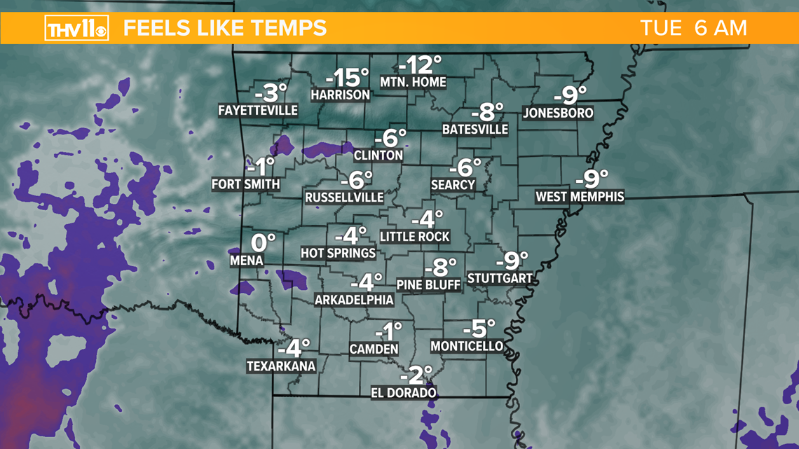
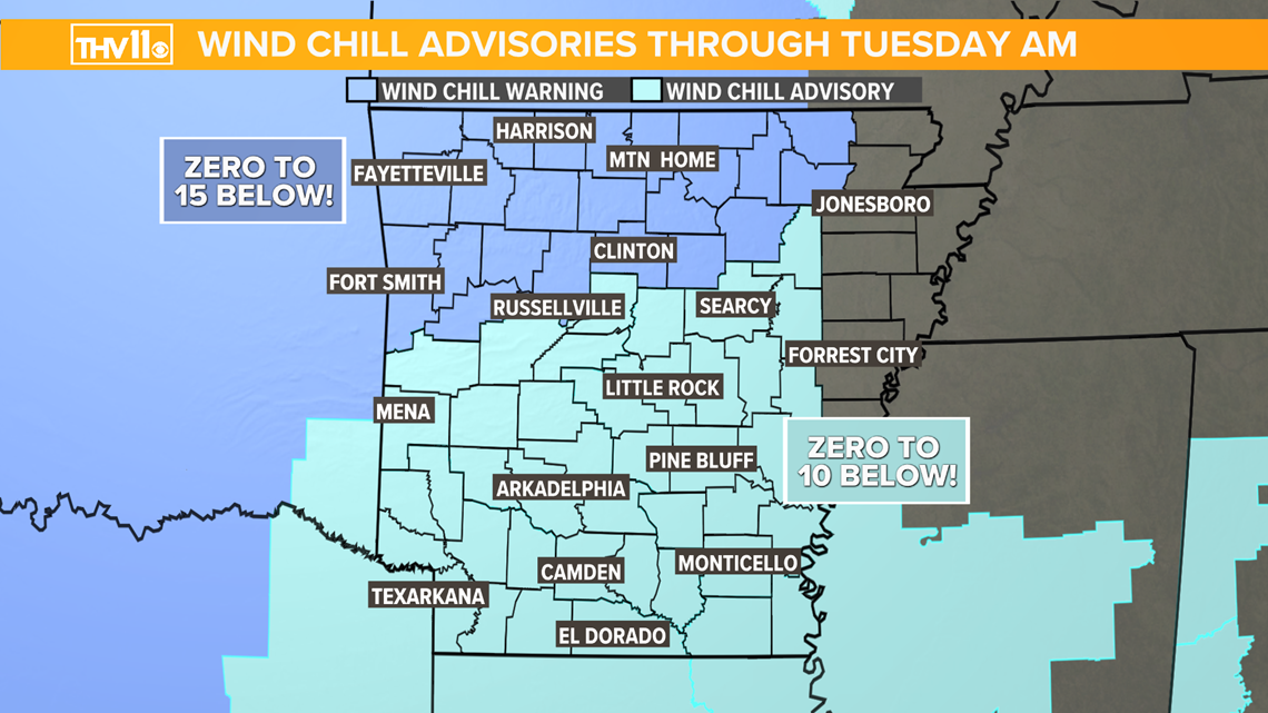
The snow and sleet will come to an end by Monday afternoon. At that point temperatures will plummet as a strong northwest wind picks up. For this reason a Wind Chill Advisories and warnings are in effect with forecast wind-chills expected to be as low as -10!


Here are a few things to remember with this arctic blast:
- Wear layers, a hat, gloves and keep warm. Hypothermia and frostbite are possible if exposed to the cold for too long unprotected.
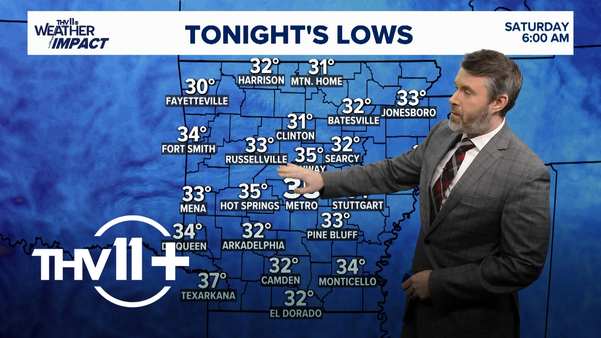
- Protect the pipes as the mercury drops into the single digits Tuesday, uninsulated pipes will freeze and possible bust.
- Don’t forget the pets, make sure they are brought inside, or have a warm place and fresh water.
- Stay off of frozen ponds. Ice will form on the ponds and lakes but it must be at least 4 inches think to safely walk on.
- If traveling check the battery, fluids, tire pressure, and tread. Also pack blankets, food, and water in case you get stuck.
Stay tuned for the latest information here at THV11 and THV11.com. Be sure you download the THV11 App for up to date weather conditions in your area.
And don’t forget to send your reports and winter pictures to 501-376-1111!


