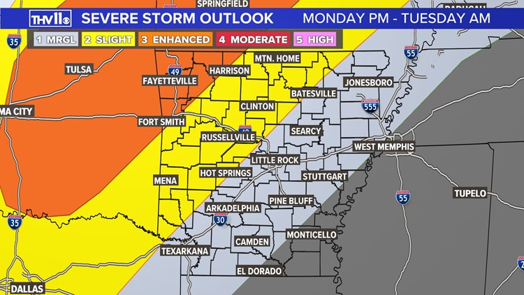
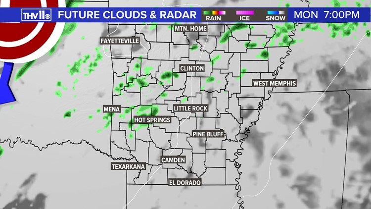
LITTLE ROCK, Ark. — Spotty showers will develop as early as Monday afternoon, ahead of an approaching disturbance and cold front. That front will start to impact western Arkansas late this evening, and this will be prime time for severe storm development.
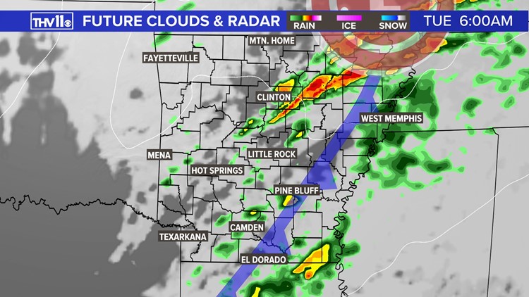
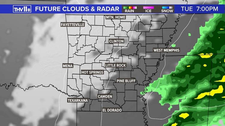
That front will approach the Mississippi River by sunrise Tuesday, and our severe threat will decrease. Rain showers could linger through midday for southeast Arkansas, but clearing skies are expected by Tuesday evening.
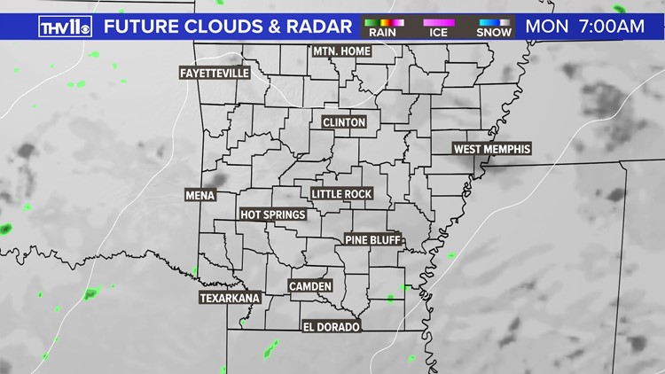
Future clouds and radar 03312024
The greatest confidence in severe storm hazards will remain across western and northwestern Arkansas, but central Arkansas is not exempt from isolated impacts. This event's main hazards are damaging winds and large hail, but a brief tornado cannot be ruled out.

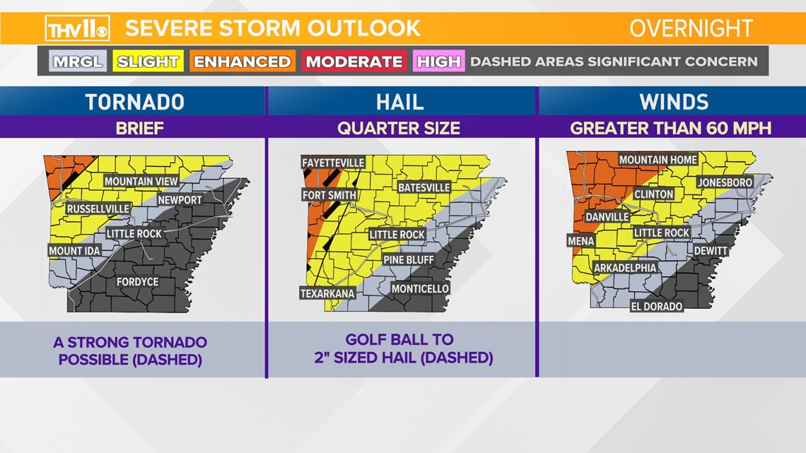
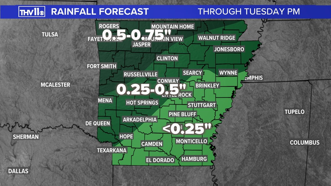
Due to the spotty nature of these storms, the flood potential will stay northwest. Much of central Arkansas could see as little as trace amounts up to half an inch of rain during this event.

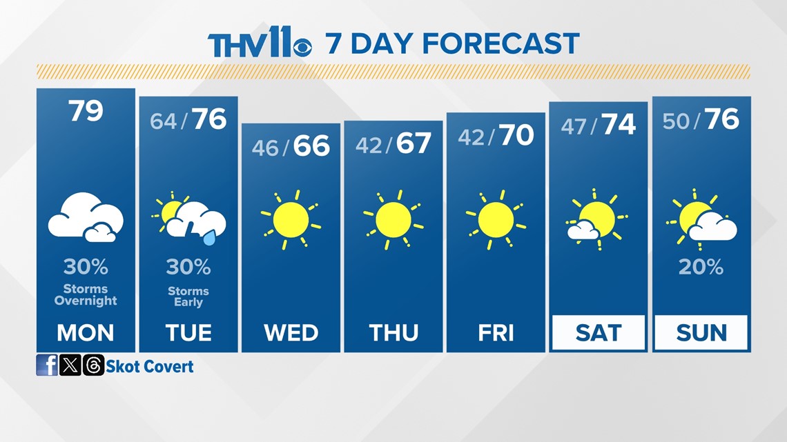
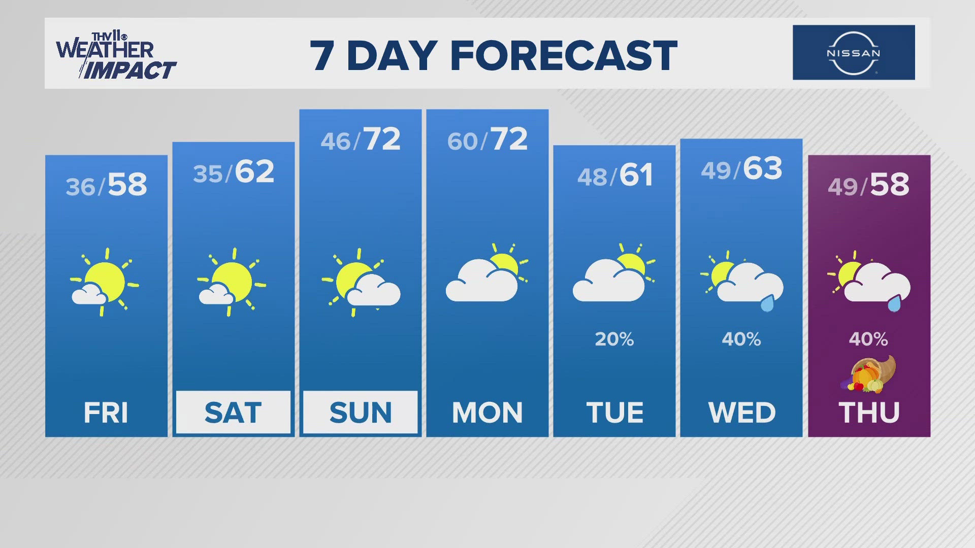
Sunshine and cooler temperatures will follow this rain event. Temperatures are expected to rebound to the 70s by the end of the week.

