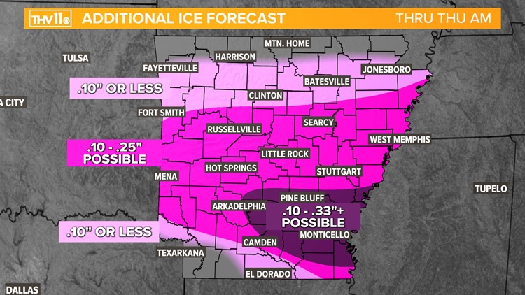
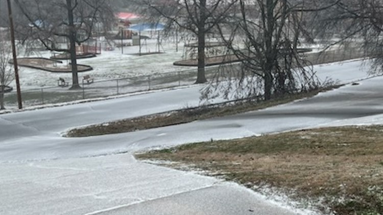
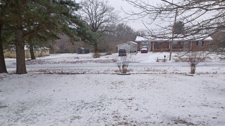
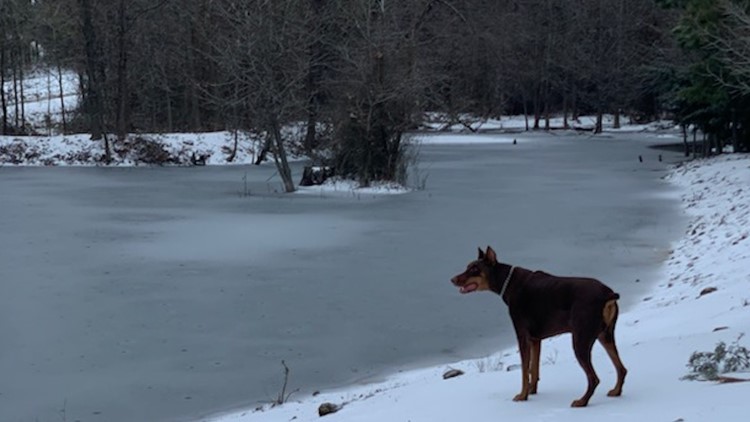
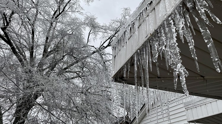
LITTLE ROCK, Ark. — Our third and final round of freezing rain and sleet will impact much of Central and Southern Arkansas beginning Wednesday afternoon and continuing through Thursday morning. Scattered rain and sleet showers prior to the final surge of moisture is possible in the southern half of the state.
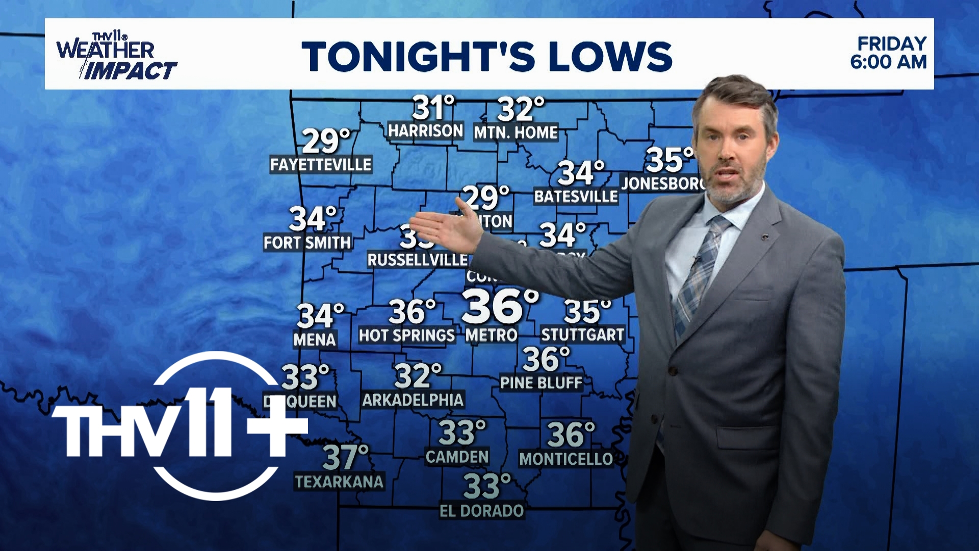
Temperatures will likely remain below freezing most of today. It's possible we warm between 33-35 degrees for a short period of time this afternoon. Though once the sun sets and the next round of rain moves in, we'll see the thermometer fall into the upper 20s and low 30s.
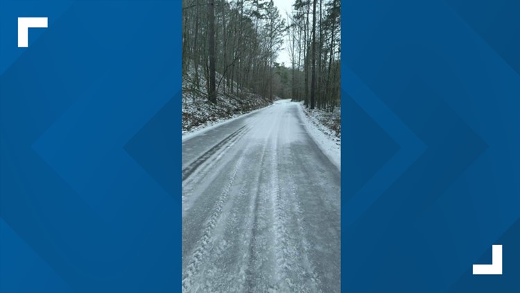
This combination will result in additional road and power impacts, much like we've already seen.
The entire state of Arkansas is under some form of winter weather alert, with the majority of the state under an ice storm warning that will remain in effect until noon Thursday.


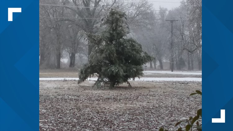
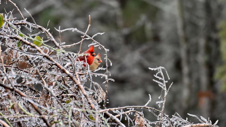
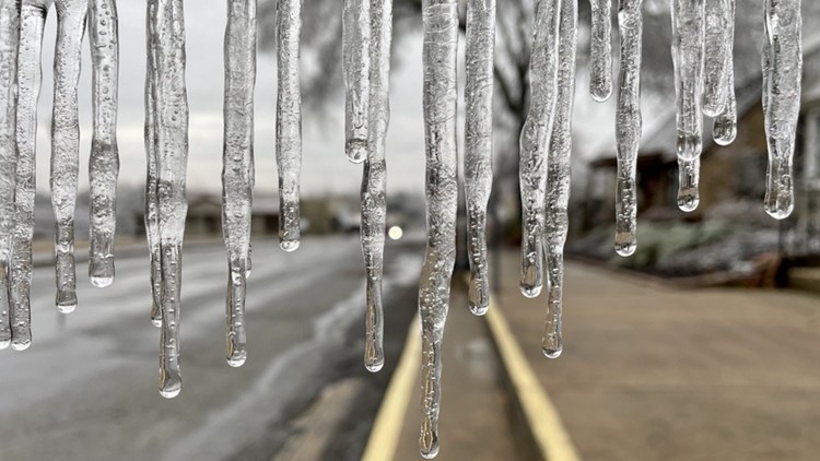
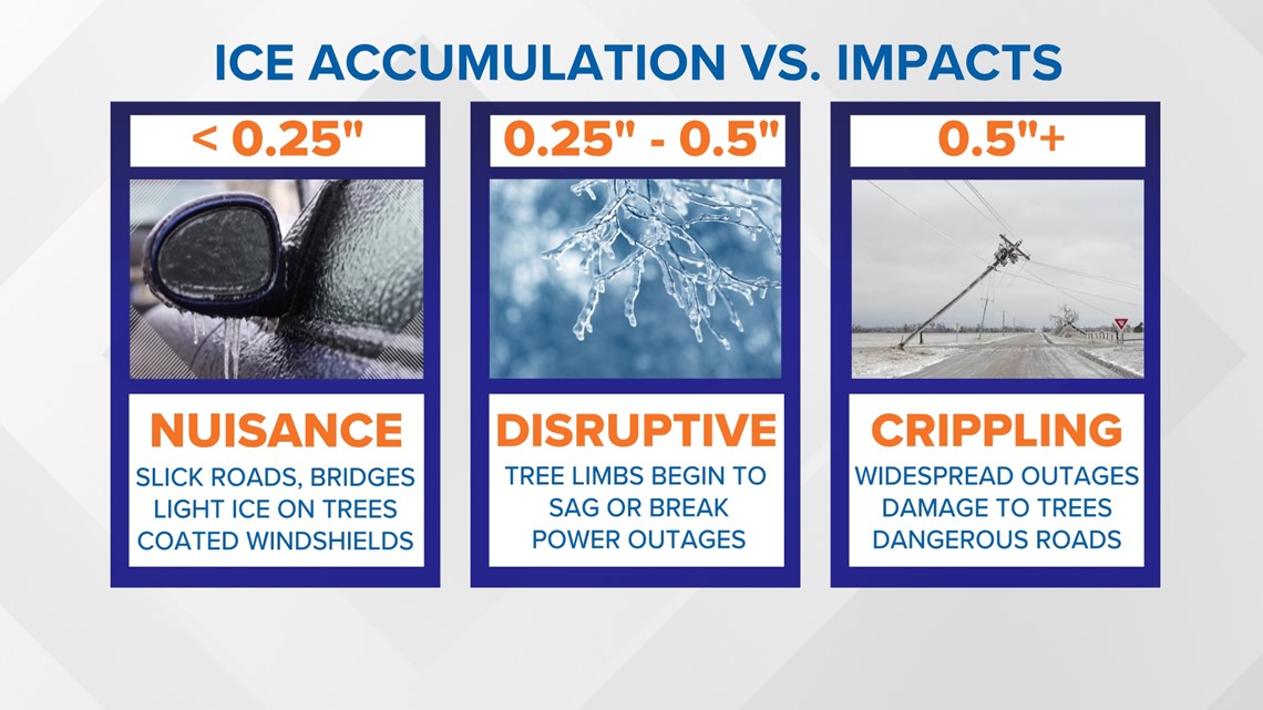
Although most locations could expect 0.10” of ice accumulation or less, there is the possibility of seeing amounts up to 0.25” to 0.50" from Mena, Little Rock to Memphis around the I-40 corridor. Any ice accumulation above 0.10" can cause disruptions. Once we exceed 0.25" we could begin to see ice weigh down tree branches and power lines, so you’ll need to be prepared for widespread travel impacts or power outages.

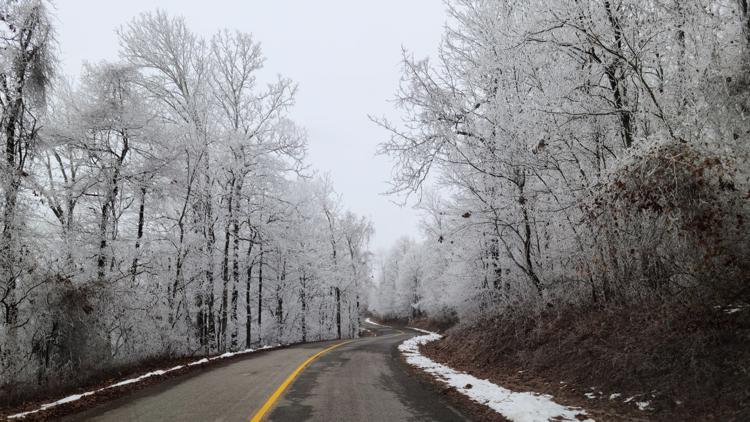
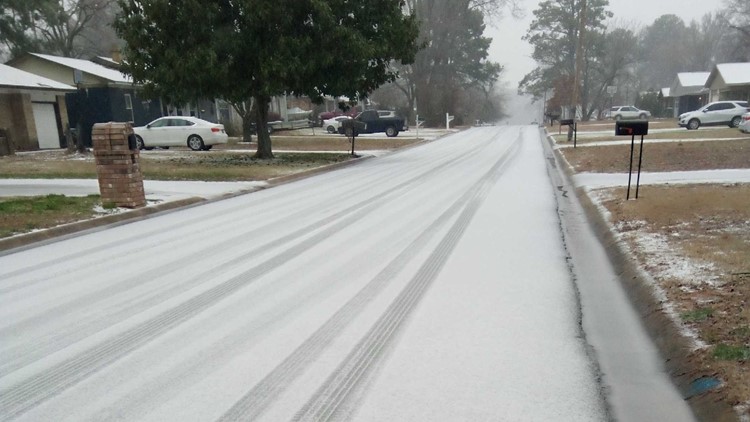
You should know the difference between freezing rain and sleet— sleet looks like small ice pellets similar to the texture of a snow cone. They bounce off objects and it doesn’t coat trees or power lines like freezing rain does, which can be much more impactful.
There is only a small temperature threshold between freezing rain and sleet, so a few degrees will make all the difference these next 24-48 hours. The weather scenario will vary per day so stay tuned to our THV11 Weather App for the latest changes and updates on this winter weather potential.


