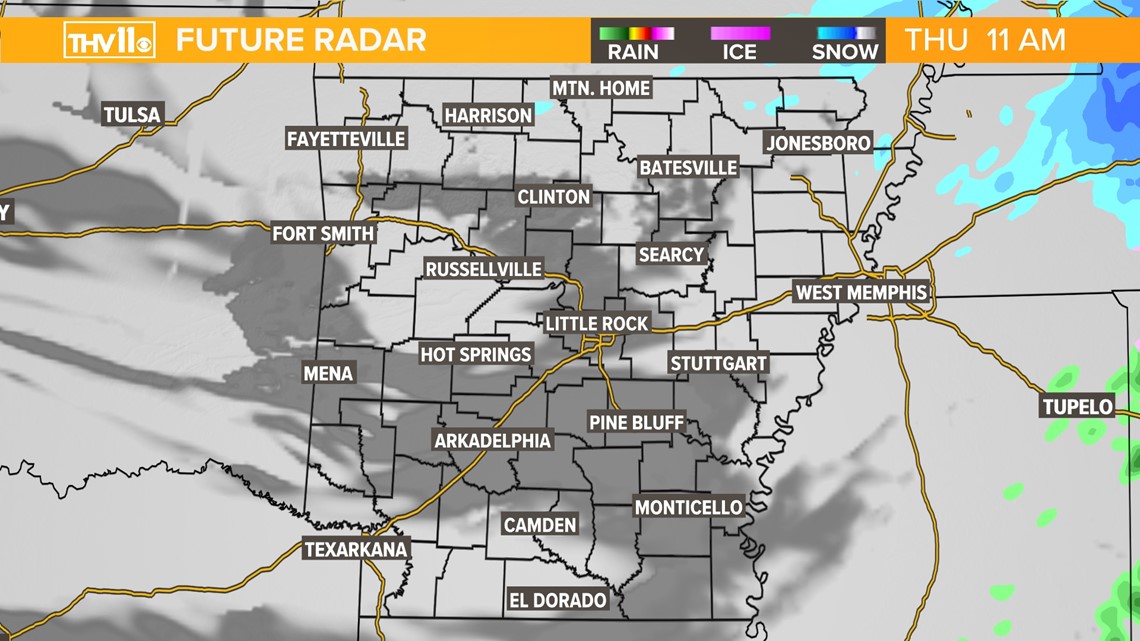
LITTLE ROCK, Ark. — A low impact winter weather event will swing through the Natural State late Wednesday night into Thursday morning, bringing the potential for a mix of frozen precipitation.
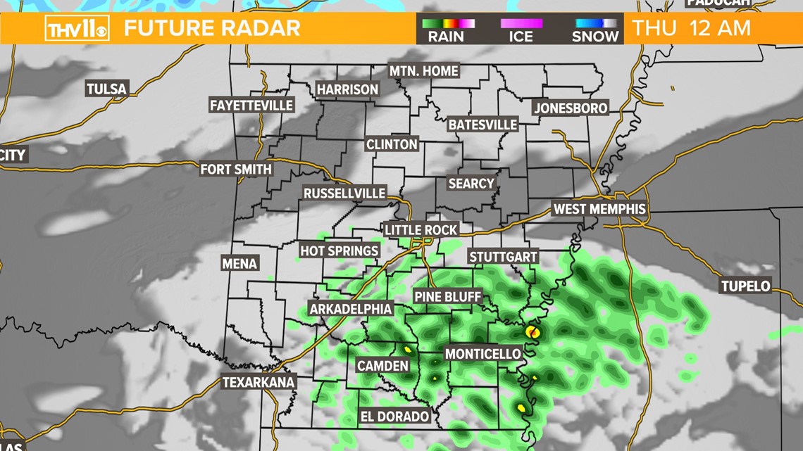
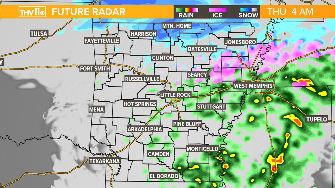
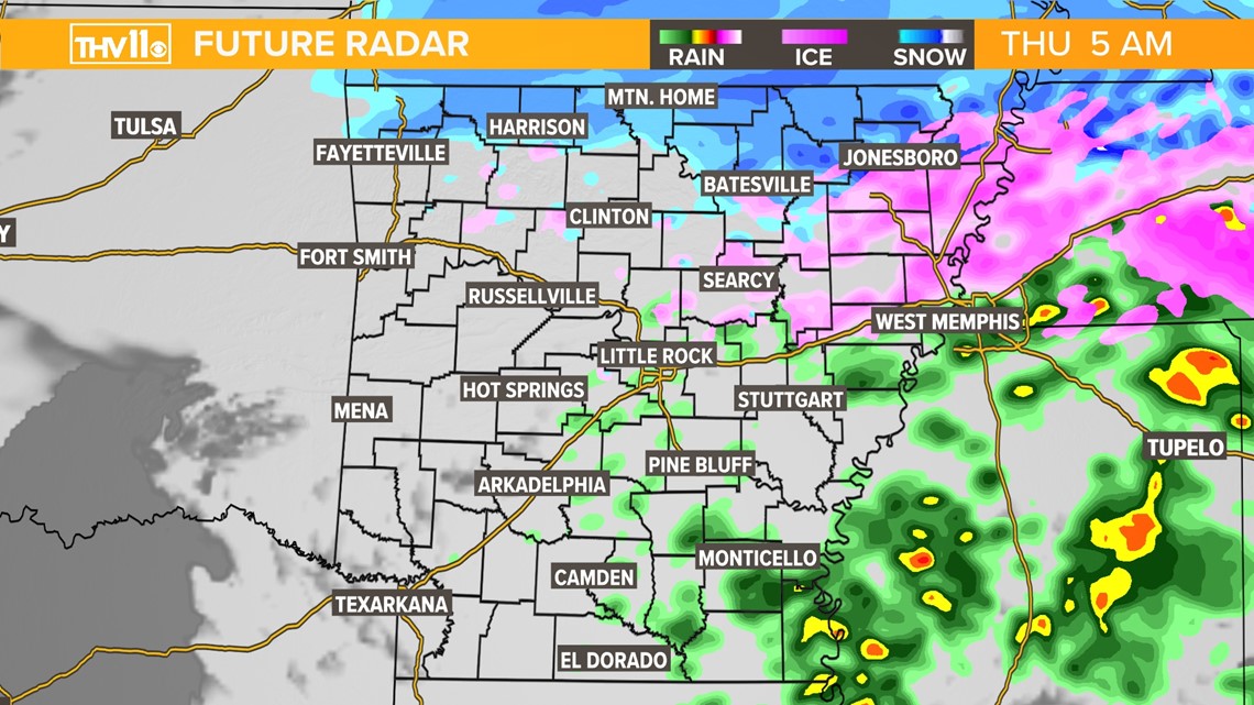
Tonight, scattered rain showers will move into South Arkansas after 10 p.m. These rain showers will be just that, a cold rain. As the system moves further north it will encounter below-freezing temperatures. This will result in a mix of cold rain, light snow, light sleet, and freezing rain.
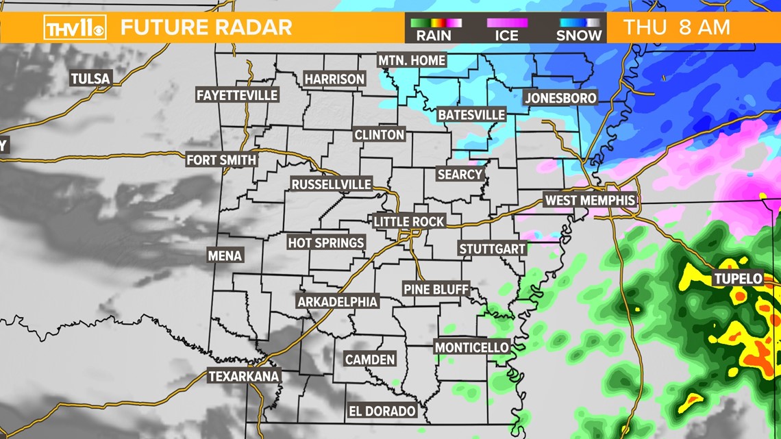
What type of precipitation you see is largely dependent on geography. Far North and Northeast Arkansas can expect mostly snow. Central Arkansas and the Little Rock metro will likely experience a mix of all types (sleet, snow, freezing rain). And as discussed, South Arkansas will largely see scattered cold rain.

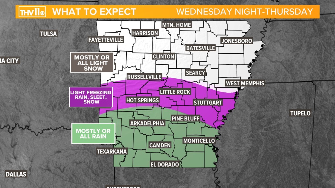
Snow accumulations will be highest in far Northeast Arkansas, where between a half and one inch of snow is expected.
Where frozen precipitation is found, resulting impacts will be minor. Some slick spots on the roads are possible during the morning rush, though not widespread.
It's important to note that while we have a high degree of confidence in seeing winter weather over the next 24 hours, there won't be much. In fact many Arkansans won't see anything at all.
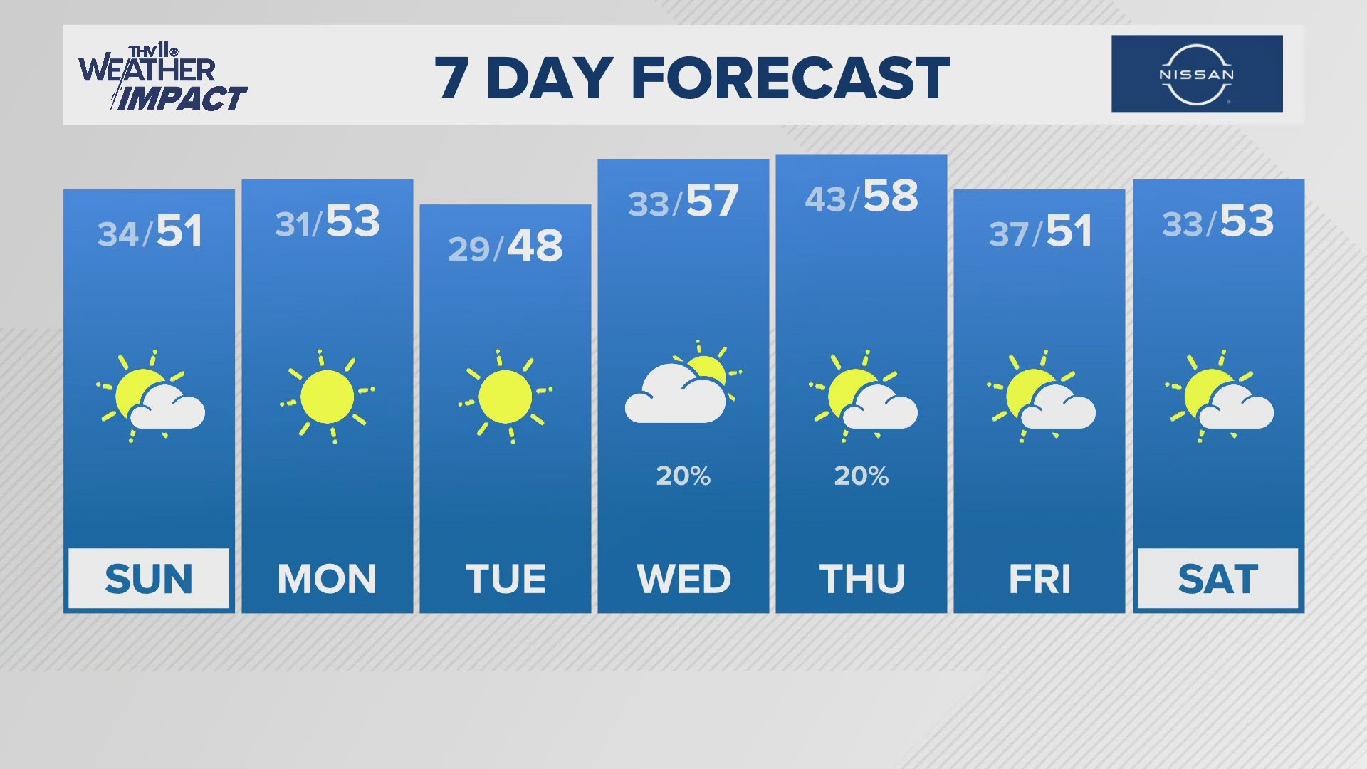
While not all will see sleet or snow, everyone will experience cold temperatures. Thursday afternoon high's will cap out in the upper 30s with Friday morning temperatures in the teens and low 20s.

